


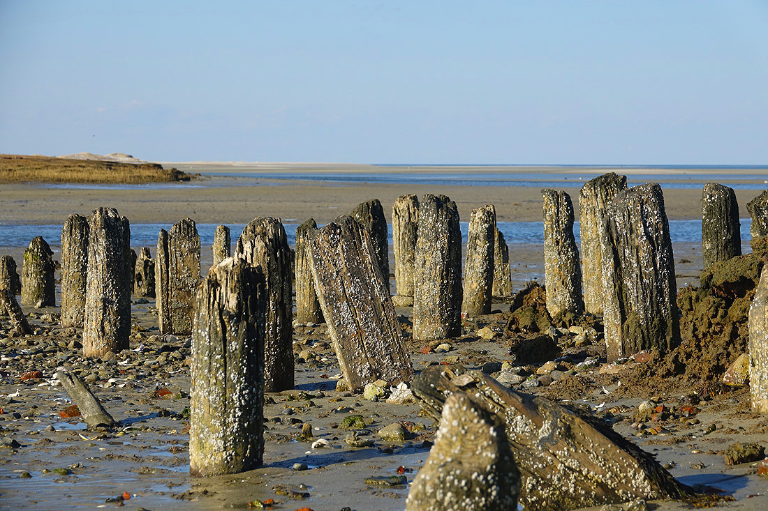
 Long before English settlers arrived in what is now Yarmouth and Dennis in the 1630s, many generations of Native Americans lived here. Several resident tribes fell under the collective Wampanoag nation. The Pawkunnawkuts occupied both sides of the southern section of Bass River. The Hokanums lived in the northeast section of the town, part of which still bears their name, and the Cummaquids lived in the western section. The area which bordered Nantucket Sound to the south was known as the “South Seas” and the whole of the area that is now Yarmouth was referred to as “Mattacheese.” In the native tongue, Mattacheese meant “old lands by the borders of water.” On January 7, 1639, the court record refers to the land grant to the first settlers John Crow, Thomas Howes, and Anthony Thacher as “the lands of Mattacheeset, now called Yarmouth.” This is considered the first usage of the name. In June of 1776, the Continental Congress sent forth a request for advice as to whether “if Congress should … declare their independence, the people will sustain them in the act.” According to the Historical Society of Old Yarmouth, the response was, “The inhabitants of the town of Yarmouth do declare a state of INDEPENDENCE OF THE KING OF GREAT BRITAIN, agreeable to a late resolve of the General Court, if in case the wisdom of Congress should see proper to do it.” One historian claims that no other community in the state responded to the inquiry of the Congress with anything like the decisive and bold declaration of the people of Yarmouth.
 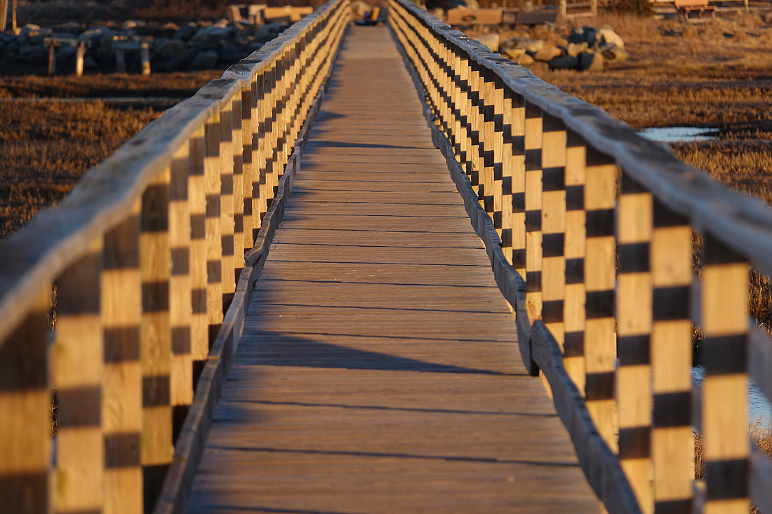 Dennis and Yarmouth were once, in fact, a single municipal entity called Yarmouth for 154 years until 1793, when the people of what was then known as the “East Precinct” seceded, formed an independent town, and called themselves Dennis. Today, the town is made up of three major villages – South Yarmouth, West Yarmouth, and Yarmouth Port. Bass River is a scenic destination in South Yarmouth – but it was once the proposed location for the Cape Cod Canal. The waterway nearly cuts the Cape in two from Cape Cod Bay to Nantucket Sound, and old sailors in the late 1800s knew this. But Captain Bixby of the Army Corps of Engineers put the kabosh on the plan, claiming it was not worth spending federal money on building a canal there. Developers began to refashion Yarmouth into a summer resort near the end of the 19th century. Hotels and summer cottage communities proliferated in the first half of the 20th century, particularly along what is now Route 28. With the emergence of the car culture in the years just after World War II, these were joined first by many motels (mostly along Route 28 in West Yarmouth) and later by the more congested, suburban pattern of residential housing construction that characterizes Yarmouth today. The headquarters of the International Fund for Animal Welfare (IFAW), a global animal welfare and conservation charity founded in 1969, is located in Yarmouth Port. In 1970, the national Christmas Tree Shops retail chain was founded at a location on Route 6A in Yarmouth Port.
Things You Might Not Know About Yarmouth
January 9, 2024
Share this:
Ann Luongo has been writing for Cape Cod and South Shore publications for over 15 years.
From The CapeCod.com NewsCenter
 Plymouth Man Charged With Pandemic Fraud Pleads Guilty
 Orleans District Court Closed For Another Week
 VIDEO: Sunday Journal – YMCA Cape Cod Hosts Healey for Major Childcare Funding Announcement
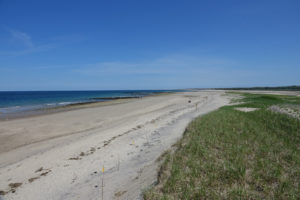 Erosion Felt Across Cape as Sandwich Beach Trail Sees Closures
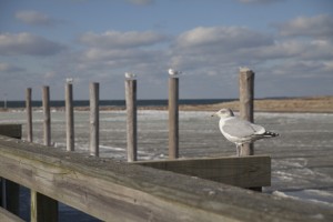 Barnstable County Provides Bird Flu Warning Before Beach Cleanups
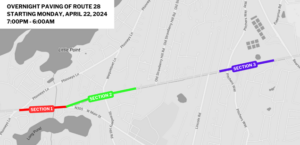 Overnight Paving Work Scheduled On Route 28
 MassDOT Seeking Feedback On Service Centers
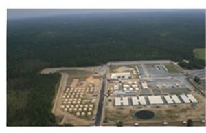 Joint Base Sewage Plant Has New Operators
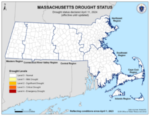 Drought Designation Lifted In Martha’s Vineyard And Nantucket
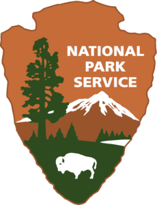 National Seashore Announces Spring Infrastructure Projects
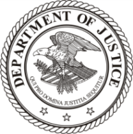 Plymouth Man Arrested And Charged With PPP Fraud
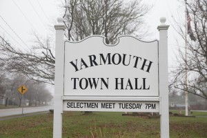 Yarmouth Migrant Shelter Occupants Being Relocated
 Falmouth Road Work Closes Main Street Thursday


