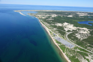
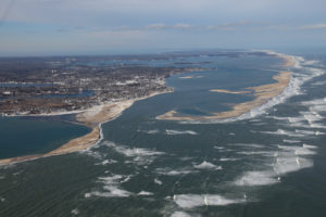
 CHATHAM – The results of a study of flooding in Chatham’s Little Beach area was recently presented to selectmen in Chatham.
The study, similar to one conducted in Provincetown, was completed by the Center for Coastal Studies to map the area to find the storm tide pathways which flood the area during nor’easters.
Coastal Geologist and Director of the seafloor mapping program for the center Mark Borrelli said 3-D and geographic information system mapping tools found 36 storm tide pathways in the Little Beach area which lead to flooding.
“You guys have a lot of what we call spillways,” Borrelli said. “It’s just flat. There is no sort of narrow cut so there are a lot of spillways out here.”
The study indicates that the most effective flood protection for Little Beach would be addressing low-lying areas at Outermost Harbor Marine and the Starfish Lane condominiums.
Borrelli said addressing those two areas could solve up to 80 percent of the flooding problem.
Robert Duncanson, the Natural Resources director, said the study was conducted to help provide more information to private property owners on how to best manage mitigation efforts. The majority of the Little Beach area is privately owned and a new property owners association is working on a flood protection plan.
“If you are going to go out and spend money, obviously you want to spend it where you’ll get the most appropriate response,” Duncanson said. “Having this detailed analysis really kind of solidifies that for us.”


