 FALMOUTH – Elise Leduc of the Woods Hole Group presented Falmouth selectmen this month with what roads and structures are subject to flooding and damage during a major storm.
Leduc presented findings of a vulnerability assessment that looked at the potential for flooding of Falmouth’s assets following significant storms in 2019, 2030, and 2070.
“The goal is really to come down to what is the risk for any individual asset, and risk in this case combines both the probability of flooding, how likely is there to be water in that location, as well as the consequence of flooding, does bad things happen when this thing gets wet,” Leduc said.
It also showed what would happen to the building or road in the event of a 20-year or 100-year storm.
“I think the most telling thing here is the vulnerability of Falmouth’s roadways,” Leduc said.
“When you put this together with all the other assets and all of the buildings, it is really a number of roads and bridges that pop out as most at risk.”
Through the analysis, the Woods Hole Group assigned composite risk scores to Falmouth’s roads and assets based on how likely a property is to flood.
The scores also took into consideration the consequences of an assets flooding, such as the impact on public safety and emergency services, the cost of damage, and how much of the town is impacted by losing the asset.
“We can take these composite risk scores for all of our assets, for the roads, for the buildings, for the docs, for the parking lots and rank them all together and really see when we look at the probability of flooding and the consequence of flooding and put them all together, what are the most important things that we should be focusing on in Falmouth,” Leduc said.
A section of Water Street between Luscombe Avenue and the drawbridge is the most vulnerable road according to the assessment, with a composite risk score of 6,635.
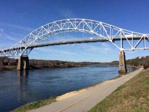
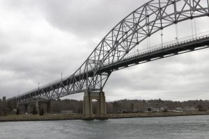
Other vulnerable roads include Chapoquoit Road between Little Neck Bars Road and the bridge, Clinton Avenue between Swing Lane and Scranton Avenue, and Scranton Avenue from Lowery Road to Clinton Avenue.
The most vulnerable building or structure is the Park Road Sewer lift Station, with the Woods Hole Group saying that given its location and elevation there is a 100 percent chance of flooding at this location under the current conditions.
Other at-risk assets include the Old Dock Road Pier upweller pumps, the Woods hole Drawbridge hut, and the Old Dock Road Pier shed.
“Not surprisingly, a lot of these are marine related because they are so close to the ocean,” Leduc said.
The final report, which is set for completion by October, will include recommendations along with the rankings.
In addition to inundation maps, the Woods Hole Group developed three visualizations that show how vulnerable the Mitchell Bathhouse, Green Pond Bridge, and Water Street are to a 100-year storm in 2019, 2030, and in 2070.
Along with the final report to selectmen, the Woods Hole Group will conduct a public presentation regarding its findings and recommendations.
Leduc mentioned that the recommendations will vary from structure to structure.
Selectmen Chairwoman Megan English Braga described the data as “phenomenal.”
“We have this conversation as a board all the time,” English Braga said.
“We recently just talked about this issue, how do we know where we have to focus our town’s efforts? This really is just a tremendous product.”