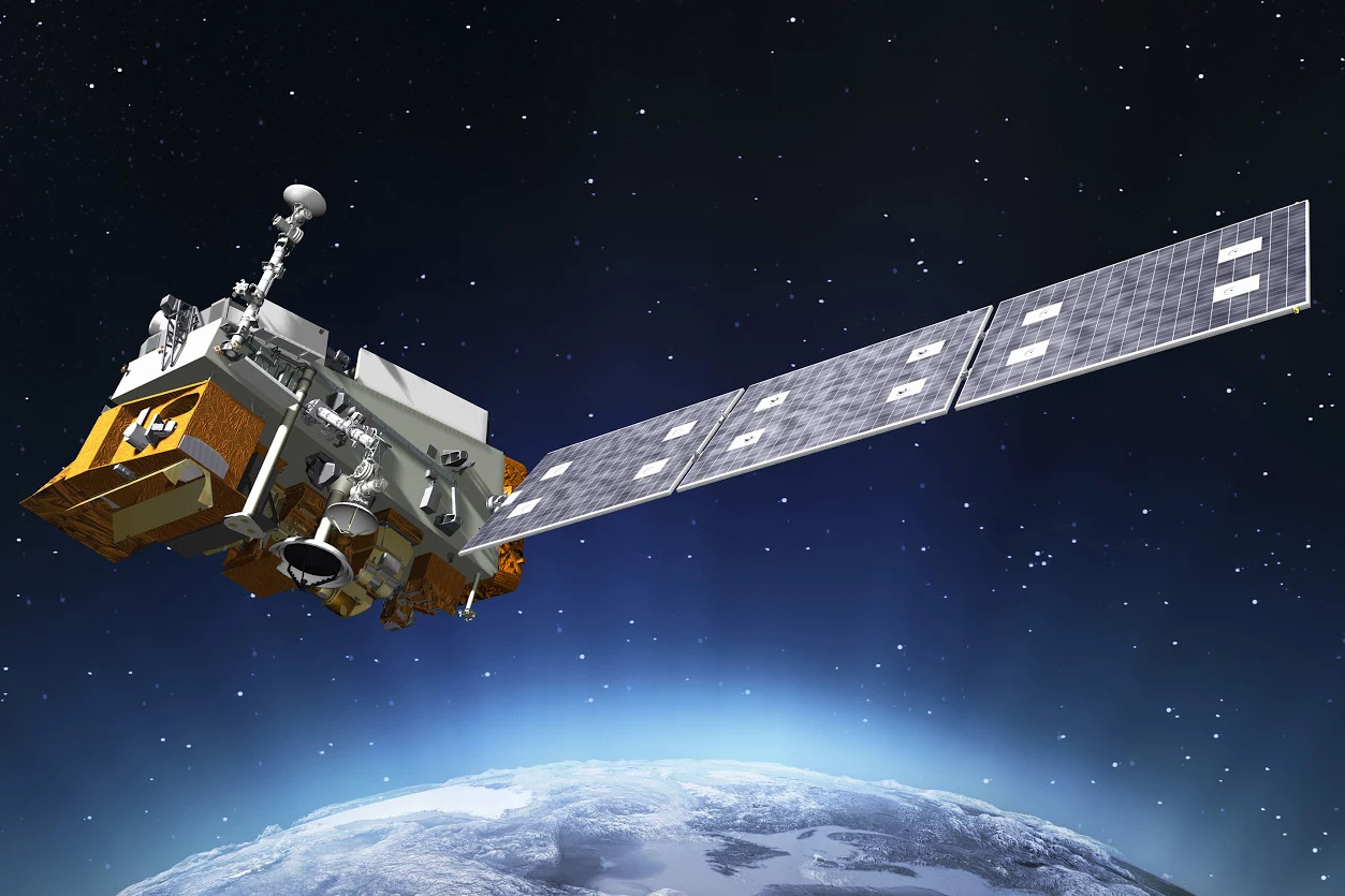
JPSS-1 is the first in a new series of four highly advanced NOAA polar-orbiting environmental satellites. Courtesy of NOAA.
HYANNIS – The first of a new series of highly advanced NOAA polar-orbiting environmental satellites which will watch for extreme weather launched last week.
The Joint Polar Satellite System, or JPSS-1, will not just help meteorologists, but also marine biologists, fishery managers and coastal habitat planners.
The satellites will be able to track changes in ocean color and spikes in water temperatures, which are important clues to understanding where marine animals live, spawn and feed.
The data collected can be used by scientists and managers to sustain marine resources into the future.
The ocean is blue, but to a fisheries scientist, different hues mean different things. Darker blue indicates deeper water and lighter and electric blue colors indicate shallower seafloors and thriving coral reef systems.
JPSS-1 includes a VIIRS sensor, which produces high resolution photos of the Earth’s surface. The sensor is so precise it can detect shades of blues and greens that illustrate the distribution and abundance of chlorophyll and phytoplankton, which are the base of the marine food web, along with browns and reds that can indicate outbreaks of algae or spilled oil.
Fishing is a major contributor to the United States economy, as fishermen landing 9.6 billion pounds of seafood valued at $5.3 billion last year.
As oceans temperatures continue to rise, some fish are moving northward or deeper to stay in cooler waters – particularly in regions like Alaska and New England.
Understanding sea surface temperature trends is key to helping fishery managers better plan for the future, which JPSS-1 will provide.
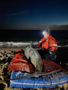
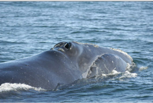
Marine species are constantly on the move, and for hundreds of years their travels were a mystery to scientists.
Today, experts place tracking tags on sharks, whales, dolphins, tuna, turtles, and other animals to understand where these animals congregate and migrate.
Understanding population patterns helps scientists and managers develop conservation measures to ensure the long-term protection of these animals.
Along with other U.S. satellites, scientists will be able to tap into data streams from JPSS-1 to understand the environmental conditions where tagged species live and travel.