Courtesy of the Boston Police Department
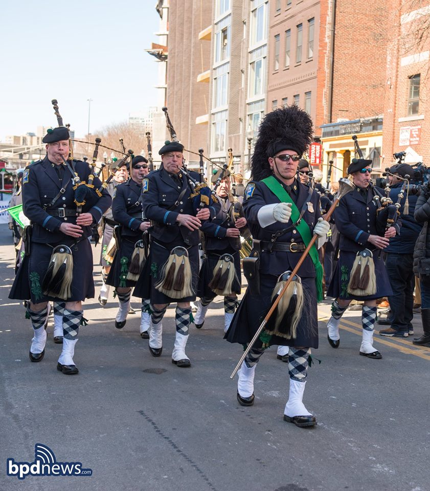
BOSTON (AP) — Boston will be awash with green this weekend as the city hosts one of the biggest and most famous St. Patrick’s Day parades in the country.
The 118th St. Patrick’s Day Parade though the city’s historically Irish enclave of South Boston gets started at 1 p.m. Sunday.
In the past, as many as one million spectators have lined the neighborhood’s streets to watch floats, pipe and drum bands, and veterans’ groups march.
The parade this year will also follow a longer path through the streets than last year, when three March snowstorms forced organizers to shorten the route.
This time the weather should be nice, with forecasters expecting sunshine with temperatures in the low 40s.
The parade is hosted by the South Boston Allied War Veterans Council.
Road closure information from Boston Police is below.
The parade route will be closed to traffic from approximately 10 AM to 4 PM.
The parade will begin at 1 PM on West Broadway at the Broadway MBTA Station and continue left onto East Broadway, right onto P Street, right onto East Fourth Street, left onto K Street, right onto East Fifth Street, left onto G Street, right onto Thomas Park, right onto Telegraph Street, left onto Dorchester Street, ending at Dorchester Avenue. Disbursal will be on Dorchester Avenue from Dorchester Street to Damrell Street.
The road race will begin at 11 AM on West Sixth Street at the Boys and Girls Club and is expected to end at Noon. Traffic will be delayed along the route as runners make their way to the finish line. The route will be from West Sixth Street to Dorchester Street, right onto East Broadway, down and around the Farragut Statue at Day Boulevard, to East Broadway, right onto West Broadway, left onto E Street, left onto West Sixth Street, ending at the Boys and Girls Club at #230 West Sixth Street.
“Tow Zone No Stopping Boston Police Special Event Sunday” parking restrictions will be in effect as follows:
· Dorchester Avenue, Both sides, from Gillette Park to Old Colony Avenue, and Both sides, from Dorchester Street to Damrell Street
· Foundry Street, Both sides, from Greenbaum Street to Dorchester Avenue
· West Second Street, Both sides, from Dorchester Avenue to A Street
· A Street, Both sides, from Binford Street to West Second Street
· Binford Street, Both sides, from A Street heading northwesterly to end at 45 Binford Street
· West Fourth Street, Both sides, from A Street to Dorchester Avenue
· West Broadway, Both sides, from Dorchester Avenue to Dorchester Street
· East Broadway, Both sides, from Dorchester Street to P Street
· P Street, Both sides, from East Broadway to East Fourth Street
· East Fourth Street, Both sides, from P Street to K Street
· K Street, Both sides, from East Fourth Street to East Fifth Street
· East Fifth Street, Both sides, from K Street to G Street
· G Street, Both sides, from East Fifth Street to #96 G Street
· Thomas Park, Both sides from G Street to Telegraph Street
· Telegraph Street, Both sides, from Thomas Park to Dorchester Street
· Dorchester Street, Both sides, from Telegraph Street to Dorchester Avenue
· West Sixth Street, Both sides, from F Street to Dorchester Street
· F Street, Southeast side (Boys & Girls Club side), West Sixth Street to Bowen Street