


In this preview segment Andrew Gottlieb, Executive Director of the Association to Preserve Cape Cod, discusses using satellite technology to assess water quality. Archived satellite imagery can be used to document Cape Cod’s past water quality as well as chart it’s progression using the most recent data. His full interview can be viewed in it’s entirety here.
Grady Culhane is a Cape Cod native from Eastham. He studied media communications at Cape Cod Community College and joined the CapeCod.com News Center in 2019. Host of Sunday Journal.
From The CapeCod.com NewsCenter
 Grants awarded for Mid-Cape, Outer Cape PFAS projects
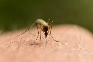 West Nile confirmed in Barnstable
 Cape septic test center gets $3M to research “reinvented toilets”
 LISTEN: 911 dispatch at Cape Cod Community College, BRIGHT Act with President Cox
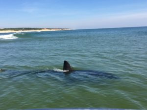 LISTEN: Sharks in Woods Hole, bite on Nantucket, more with John Chisolm
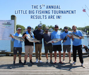 Fishing tournament raises over $180,000 for Big Brothers Big Sisters
 Center for Coastal Studies to begin weekly guided nature tours of Provincetown Harbor
 Cape lawmaker wants bars and restaurants to have happy hours again
 Multi-million-dollar grant to help Barnstable school with climate project
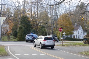 Grant awarded for Sandwich roads after officials asked for increased motorist caution
 Free tick testing available for Cape residents amid rising health concerns
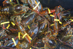 V-notch lobster regulations here to stay, despite Outer Cape outcry
 Outdoor movie series returns to Mashpee Village Green


